
I was just Google-Mapping a route and location in Vancouver, BC from Seattle when I noticed something that was not on the web service pages yesterday:
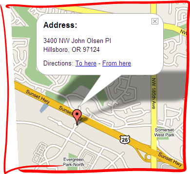
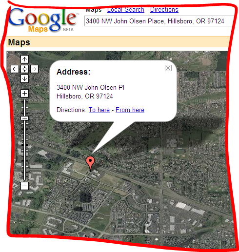
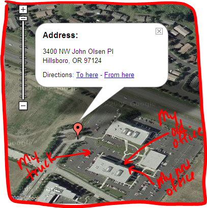
Google just added satellite imagery to their entire Google Maps web app! Go try it - it's pretty amazing! Below are the standard Google map, same resolution satellite imagery, and a surprisingly excellent full zoom image (with my own handwritten notations, thanks to the new Tablet PC Experience Pack).
That Keyhole acquisition is paying off. 

Member discussion: