Google apparently needed to outdo itself yet again, and so they released Google Earth earlier today. I'm probably almost the last blogger in the world to write about it. But that's okay, cuz I am posting some pics.
What makes it different? First of all, 3D elevation. Try flying around Mt St Helens or some other cool location of your choosing. Just click to tilt down and fly around and see the scenery. Turn on the 3D buildings for some of the bigger city downtown areas.
Google Local searches fly you down to the spots listed in your search results. And Google driving directions will show you the route in 3D, and then you can fly along the route. You can add tons of map overlays, too. Want to see where notable earthquakes were centered? Want to map volcanos? Gas stations? Roads? Plus something like a zillion other things.
And it's free. There's no reason not to check it out.
Click on each image below to see a full-size version.
World view:****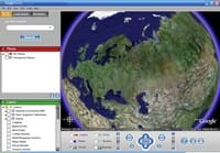
Left Coast:****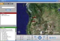
Mt. Hood in 3D:****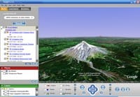

Member discussion: